Fresh Listing

Posted: February 9, 2026 (5 days ago)

This job was posted recently. Fresh listings typically have less competition.

Geospatial Analyst I

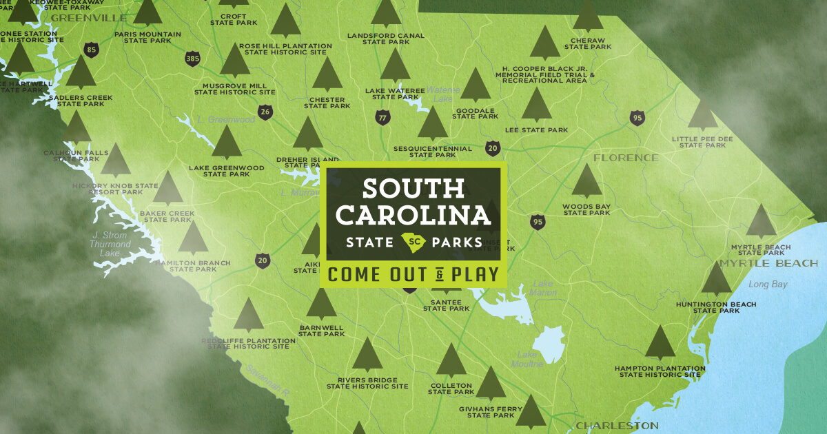
State of South Carolina

Department of Parks, Recreation & Tourism

Fresh

Location

South Carolina, 29210

Salary

$61,333 - $61,333

per year

Type

Closes

February 17, 2026More State jobs →

Job Description

Summary

This job involves using mapping and location-based software to support South Carolina's state parks and tourism programs by creating maps, analyzing data, and building online tools for staff and the public.

The role focuses on maintaining accurate geographic data, helping with decision-making through spatial analysis, and training others in these tools.

It's a good fit for someone with a background in geography or environmental fields who enjoys teamwork, problem-solving with technology, and working in natural resource management.

Key Requirements

  • Bachelor's degree in geography or related field, or associate degree with at least two years of GIS software experience
  • Coursework or experience in archaeology, preservation, natural resources, environmental sciences, or conservation, especially with GIS applications
  • Knowledge of geospatial analysis, modeling, cartography, and web-based GIS
  • Working knowledge of ESRI products including ArcGIS Pro and ArcGIS Online
  • Experience with spatial analysis techniques, GPS equipment, Excel, and mapping programs
  • Strong organizational skills, effective communication (verbal and written), and ability to manage multiple projects
  • Valid South Carolina driver's license and willingness to travel for training

Full Job Description

The purpose of the GIS Analyst in the State Parks Resource Management Program is to provide reliable GIS support to SCPRT staff, and reliable GIS-derived information to agency leadership, decision makers, and the public. The Analyst will work collaboratively with all divisions on GIS projects, and will develop and implement GIS workflows that help agency staff accomplish agency objectives. This includes editing authoritative GIS datasets in the agency’s GIS database, developing high-quality maps for SCPRT programs, performing various geospatial analyses to support decision-making within the agency, developing web-based GIS applications for internal use and the public, and contributing to GIS training efforts.

Job Duties:

1) Data editing for SCPRT authoritative datasets within the ArcGIS Online environment. Use ArcGIS Pro to edit geometry and attribute data from AGOL and web services published to the AGOL portal to improve data quality for internal and external applications.
2) Fulfills mapping and cartography requests from State Park and SCPRT programs.
3) Assists with the development and support of web applications and web-based field data collection applications using the Esri web-GIS platforms (ArcGIS Online). Web applications may be public facing, or internal only to support agency operations.
4) Performs various geospatial analyses to support SCPRT programs using tools in the Esri ArcGIS environment. Proposes creative solutions to solve geospatial analyses problems. Develops models or scripts to perform repeated analyses, if appropriate.
5) Contributes to central office team efforts to train state park staff in GIS. This may include producing tutorials, presenting during webinars, and training users in-person for particular workflows. Will be available to answer specific GIS related questions regarding GIS technology.
6) Practice and promote teamwork within the work unit/office, throughout the agency and with external agency stakeholders. Represents office as an active member on agency teams assigned throughout the year.


Requirements

A bachelor's degree in geography or a related field and experience in the use of GIS software; or an associate degree in geography or a related field and at least two years experience in the use of GIS software. Coursework or experience in some combination of archeology, preservation, natural resources, environmental sciences, conservation; especially GIS applications for those disciplines. Knowledge of geospatial analysis and modeling, cartography, and web-based GIS.

Additional Requirements:

1) Must be willing to travel for training if needed. Must be able to communicate effectively with staff from a variety of disciplines relating to natural resources. Ability to manage multiple projects and assigned tasks. Experience with programming (Python, R, JavaScript) for GIS applications developing GIS-based web applications is a plus.
2) Working knowledge of spatial analysis techniques and cartography, Excel spreadsheets, record keeping, ESRI products, GIS, GPS equipment, and mapping programs such as Arc GIS Pro. Working knowledge of software standards and capabilities. Must have good organizational skills and the ability to communicate on the phone and in writing with peers and the general public. Must possess the ability to plan, oversee, and evaluate the activities of interns and other direct reports.
3) A valid SC driver's license.

Additional Information

Actual Job Location: Resource Management

Full-time, Monday-Friday, 37.5 hours weekly.

The South Carolina Department of Parks, Recreation & Tourism is an Equal Opportunity, Affirmative Action employer.

Check your resume before applying to catch common mistakes

Browse Similar Jobs

Posted on NEOGOV: 2/9/2026 | Added to FreshGovJobs: 2/10/2026

Source: NEOGOV | ID: neogov-sc-5230356